


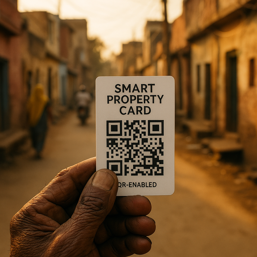
The Delhi government is set to begin issuing QR-enabled Smart Property Cards for properties located in “lal dora” and “abadi” villages under the Centre’s Svamitva scheme, marking a significant step in the formal documentation of village residential land in the capital. Officials said surveys have already been completed in 30 of the 48 villages brought under the programme, paving the way for the next phase of implementation.
The move is important because “lal dora” areas have long occupied a special and often confusing place in Delhi’s land and property landscape. These village settlements, historically kept outside some conventional building and revenue rules, have expanded over time as Delhi urbanised around them. As a result, many residents have lived for years with uncertain or incomplete property records, making ownership verification, inheritance, sale, and access to formal finance more complicated than in regular urban colonies.
What the smart property cards are expected to do
Under the Svamitva, or Survey of Villages and Mapping with Improvised Technology in Village Areas, scheme, properties are surveyed and mapped using modern technology, after which property holders receive official documentation linked to those mapped records. In Delhi, the introduction of QR-enabled smart cards adds a digital layer to that process. A QR code can help make records easier to authenticate and retrieve, potentially reducing paperwork disputes and improving transparency in property identification.
For residents, this could mean a more accessible proof of possession or ownership status in areas where land records have traditionally been less clear. For the administration, digitised cards may help streamline record management and reduce ambiguity in transactions involving village properties. In a city where land values are high and disputes are common, even incremental clarity in records can have a meaningful impact.
Why lal dora areas have remained complex
The term “lal dora” dates back to the colonial period, when a red line was drawn around inhabited sections of villages to distinguish them from agricultural land. Over decades, these settlements evolved in ways that did not always fit neatly into modern urban planning systems. In Delhi, many such villages became engulfed by rapid city growth, turning once-rural habitation clusters into dense urban pockets with mixed residential and commercial use.
This unusual legal and administrative history has contributed to recurring confusion over title, construction norms, municipal oversight, and property transfer. In practical terms, many families in these areas have relied on local documentation, informal sale deeds, family partitions, or other non-standard records. The Svamitva process is therefore being watched closely because it promises a more standardised mapping and documentation framework in places where the paper trail has often been fragmented.
Why this matters beyond paperwork
Clearer property records can influence daily life in several ways. They can make transactions safer, improve succession planning within families, and strengthen a household’s ability to establish legal standing over a property. In many parts of India, formal recognition of property is also linked to better access to institutional credit, because banks and financial institutions typically prefer clearly documented assets.
At the local level, more reliable mapping can also help public agencies with planning, taxation, infrastructure delivery, and dispute resolution. In a city like Delhi, where village areas sit alongside high-value urban real estate, accurate land records have implications not just for individual homeowners but also for governance, redevelopment, and civic administration.
The significance of the Delhi rollout also lies in its place within a larger national push toward digitised land governance. Across India, land records modernisation has been seen as a crucial reform area because unclear ownership remains a major source of litigation and administrative delay. Programmes such as Svamitva aim to address that problem by combining survey technology with formal record creation, particularly in rural and semi-urban settlements.
What residents will watch for next
As the Delhi government moves from survey completion to card issuance, residents in the remaining villages will be watching the pace of implementation and the practical usefulness of the cards. Much will depend on how seamlessly the cards integrate with existing revenue and civic systems, and whether they help resolve long-standing ambiguities rather than merely create another layer of documentation.
For readers in Delhi, this story matters because it touches on one of the city’s most persistent realities: the gap between how neighbourhoods have grown and how the state records them. If the QR-enabled Smart Property Cards succeed in bringing greater clarity to “lal dora” and “abadi” properties, they could become an important tool in reducing uncertainty for thousands of residents living in historically complex settlements.